Background
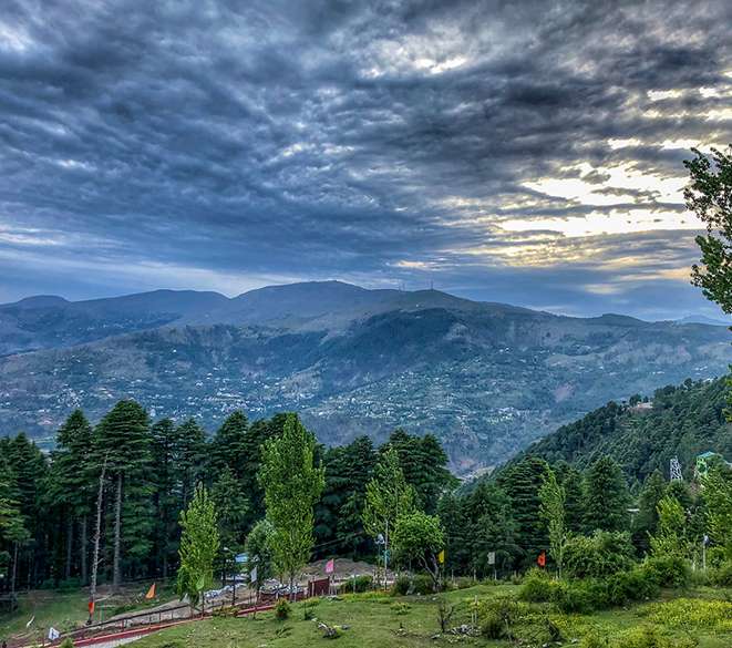
Patnitop is a hill station, located, between Ramban Town and Udhampur city in the Ramban district of Jammu and Kashmir, India. It is in located on the Jammu-Srinagar National Highway (which is part of National Highway 44, formerly 1A), 112 km (70 mi) from Jammu, on the way from Udhampur to Srinagar. Situated on a plateau in the Shivalik belt of the Himalayas, Patnitop sits at an altitude of 2,024 m (6,640 ft). The river Chenab flows in close proximity to this location.Patnitop lies in District Ramban of Jammu And Kashmir.
Patnitop it is a famous hill station in the Udhampur district of Jammu & Kashmir, known for endless meadows and panoramic views of the snow-capped peaks of the Himalayas. Along with the widespread abundance in sceneries, Patnitop is known for activities like skiing and trekking as well as water springs.
Patnitop offers adventure activities like paragliding, trekking, skiing etc.
Sanasar, located 17 kms away is also popular for a paragliding base, golf courses along with extended sightseeing options.
Nathatop, located approximately 14 km away from Patnitop is known for panoramic view of the snow-covered peaks and also as the take off site for Paragliding.
Shiva Garh is situated around 11 kilometres away from Patnitop, at an altitude of almost 3500 meters. It makes for a short but an exhilarating trek experience.